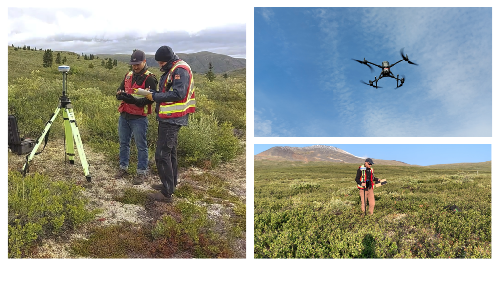
Remote sensing is the acquisition of geospatial information from a distance – typically via satellite, aircraft, or Unmanned Aerial Vehicles (UAVs). In mine reclamation, remote sensing is increasingly valued for its ability to provide timely, repeatable, and high spatial resolution data across large and often remote landscapes.
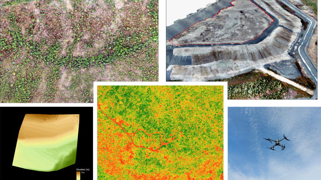
We collect multispectral and RGB imagery, as well as LiDAR data, using Unmanned Aerial Vehicles (UAVs). Through structure-from-motion photogrammetry and LiDAR processing, we generate detailed imagery and 3D point clouds to support:
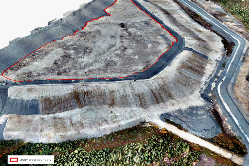
Erosion monitoring and terrain change detection
Automated seedling identification using object-based image analysis
Vegetation productivity assessments
Canopy height and structural metrics
Surface modeling and volumetric calculations for site management
GIS Analysis
A Geographic Information System (GIS) is a system which connects data to a location on a map. It helps users understand patterns, relationships, and geographic context. The GIS Analysis team at IEG gathers, processes, analyses, and delivers geospatial data, enabling clients to understand complex problems and make data informed decisions. Our dedicated team of individuals strives to stay up to date on all the latest GIS technologies. The GIS Analysis team supports the full spectrum of projects across IEG and provides the following services:
Advanced spatial analysis to support environmental assessment and decision-making
Terrestrial ecosystem and habitat classification and mapping
Geospatial data management, organization, and dissemination
Production of high-quality cartographic products for reports and stakeholder communication