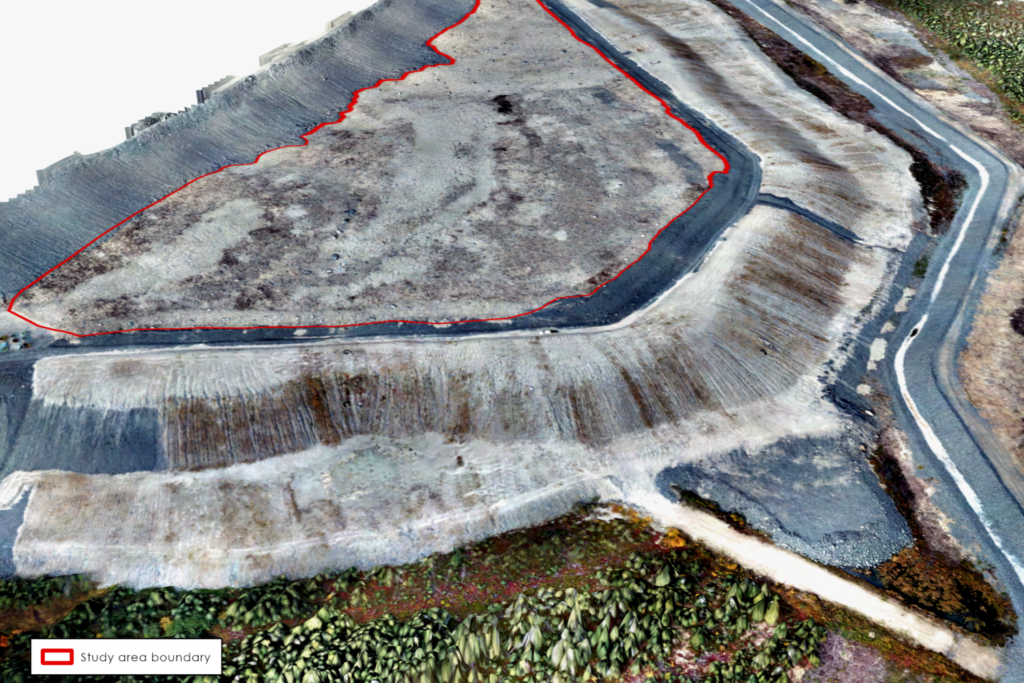
UAV Soil Amendment Mapping at Detour Lake Mine

In partnership with BGC Engineering, IEG conducted a UAV survey of an organic matter reclamation cover on a constructed plateau at Detour Lake Mine. The objective of the project was to assess the distribution of a peat mineral mix (PMM) used as a cover material and create a spatially explicit map of PMM distribution to be used as a covariate in a revegetation trial.


