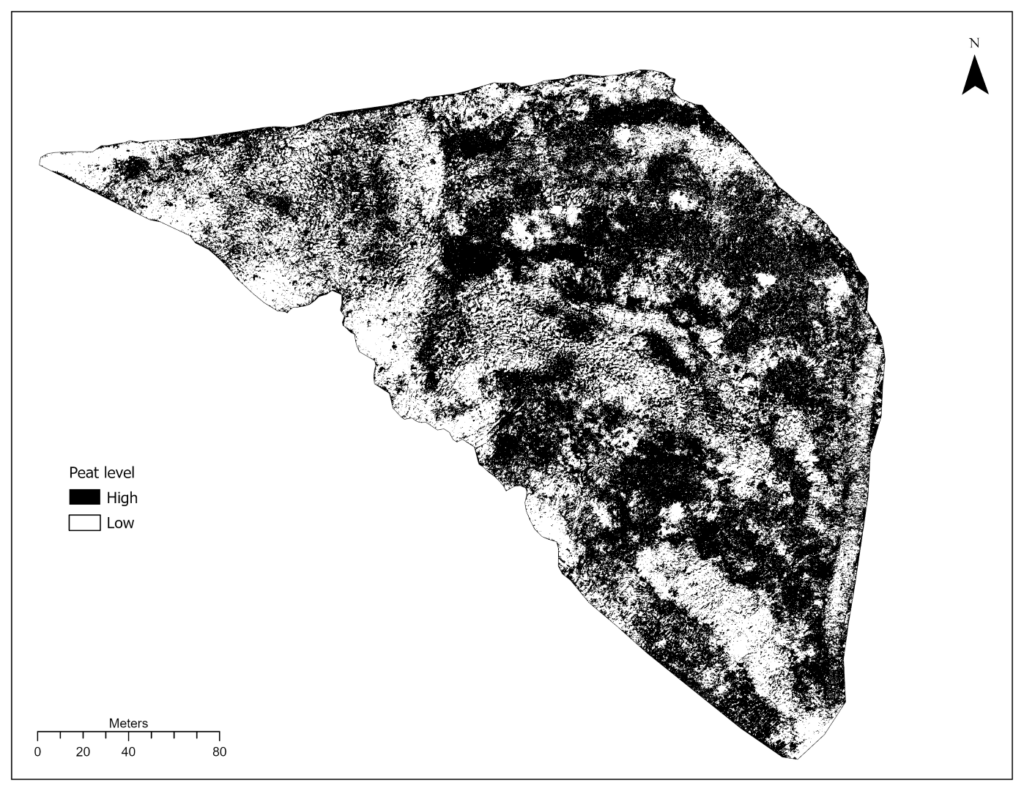
In partnership with BGC Engineering, IEG conducted a UAV survey of an organic matter reclamation cover on a constructed plateau at Detour Lake Mine. The objective of the project was to assess the distribution of a peat mineral mix (PMM) used as a cover material and create a spatially explicit map of PMM distribution to be used as a covariate in a revegetation trial.
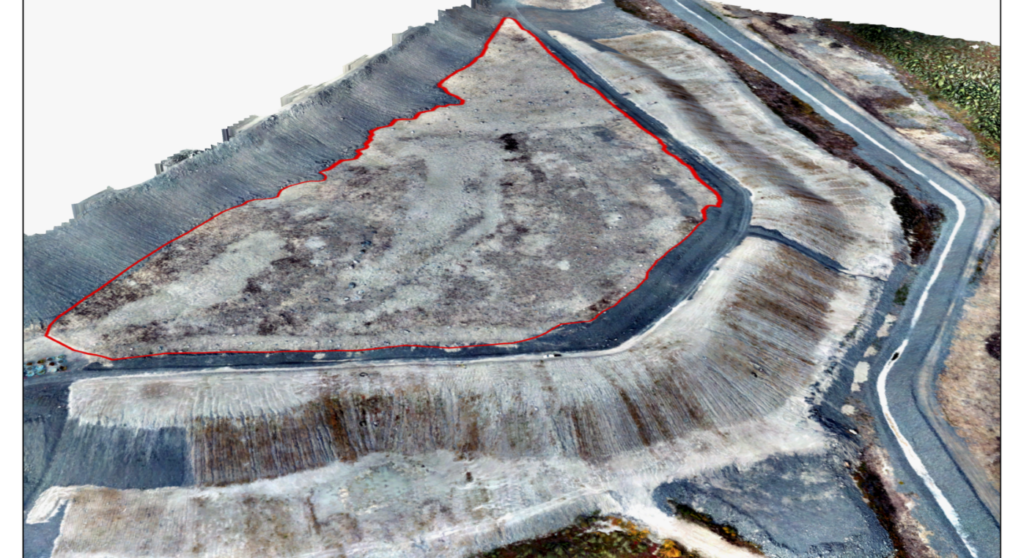
The revegetation trial is situated on a waste-rock stockpile, capped with overburden materials. The plateau of the facility, which makes up the study area, was covered with a 0.3 m overburden growth medium, consisting of a PMM targeted to have approximately 20-30% peat by volume. Due to operational constraints, the process of spreading the PMM resulted in a spatially heterogenous distribution. Though for operational reclamation, this degree of patchiness would have been appropriate, it represented a major covariate which could disrupt learnings from the trial if not accounted for.
After acquisition of imagery from the UAV survey, the analysis followed these general steps:
- Aerial image processing into an orthomosaic using photogrammetry software
- Object Based Image Analysis to segment, train, and classify the orthomosaic into areas of high and low peat.
- Designation of Permanent Sample Plots (PSPs) within the study area as high or low peat, and comparison of seedling survival rates between high and low peat PSPs by analysis of variance.
Results of the project indicated a significantly higher survival for conifer seedlings planted in high peat areas than those planted in low peat areas, with survival approximately 15% higher for pine trees and 22% higher for spruce trees in high peat areas.