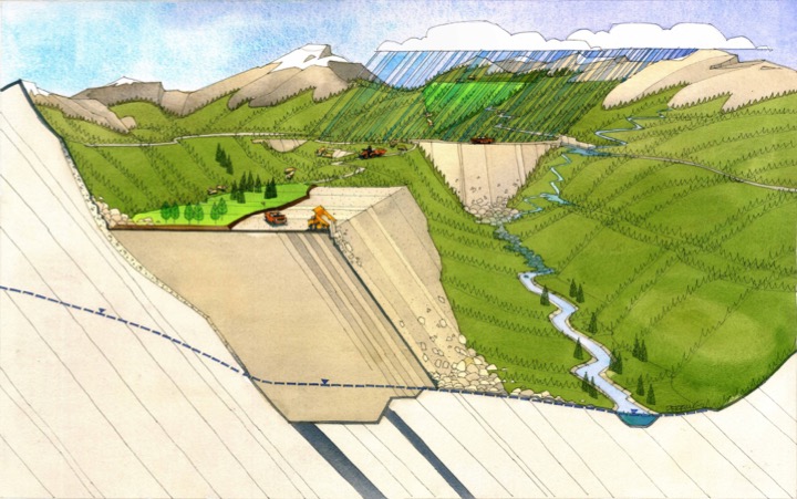
Community-guided End Land Use Plan for Teck Highland Valley Copper
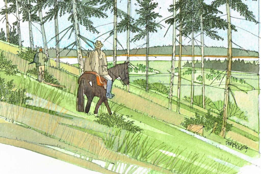
In collaboration with HVC staff and Nlaka’pamux communities, IEG completed an End Land Use Plan (ELUP) for the Teck Highland Valley Copper (HVC) Mine in British Columbia.
Mackenzie River Basin State of the Aquatic Ecosystem Report (MRB SOAER) for Environment and Climate Change Canada
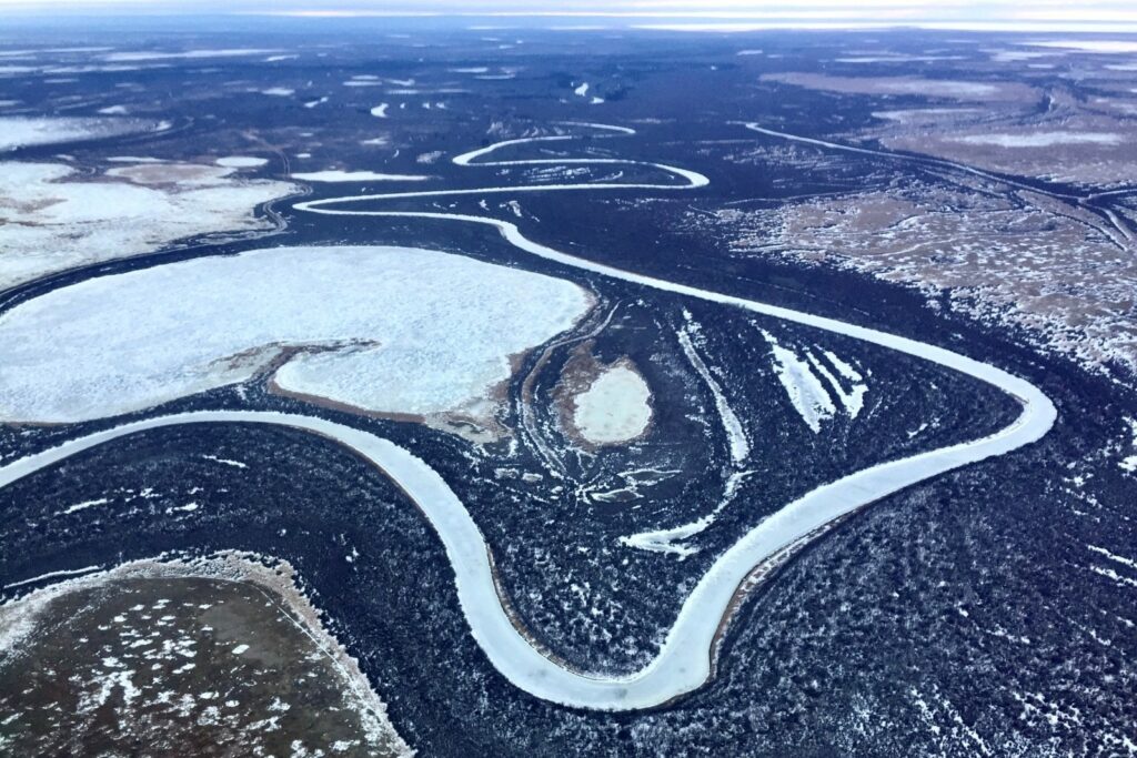
In partnership with Associated Environmental, IEG conducted an aquatic health assessment (State of the Aquatic Ecosystem Report) of the Mackenzie River Basin for Environment and Climate Change Canada.
Kitatipithitamak Mithwayawin: Indigenous-led planning and responses to coronavirus
IEG is a partner on the Kitatipithitamak Mithwayawin project. The team is being led by Stephane McLachlan at the University of Manitoba and an Advisory Council made up of Health Directors, Tribal Councils, and Health authorities from Manitoba and Ontario.
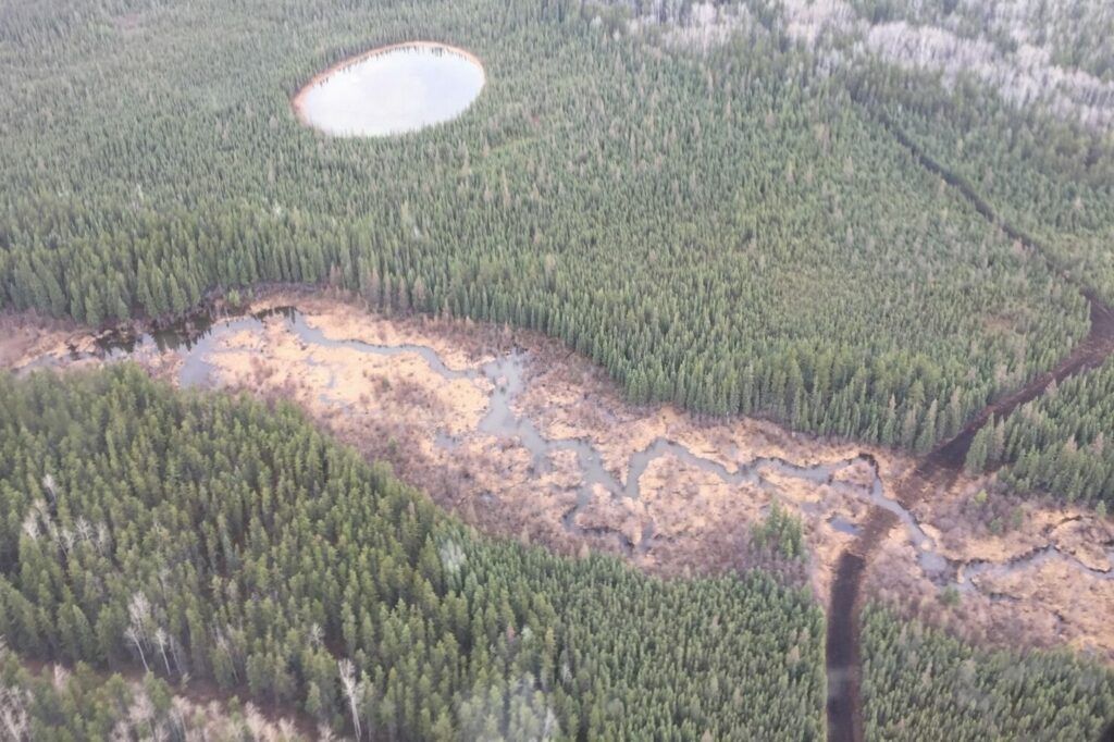
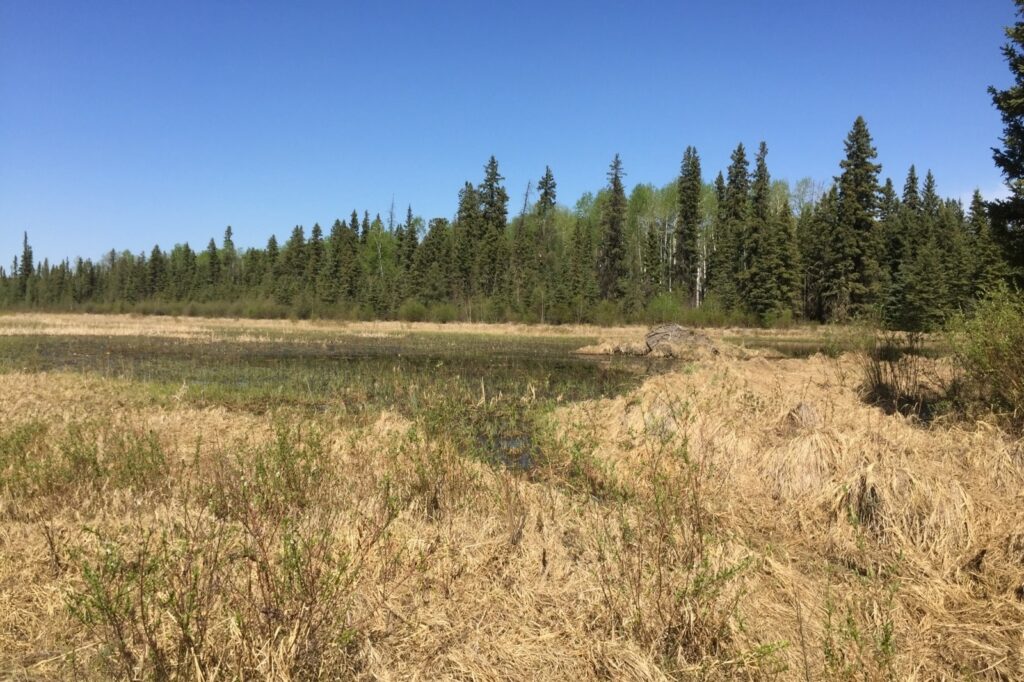
Establishing Nitrogen Critical Loads in Alberta’s Oil Sands
Assessing the impacts of experimentally applied nitrogen additions to jack pine forests, bogs and fens in the oil-sands region of northeastern Alberta to determine critical loads for nitrogen emissions in the region.
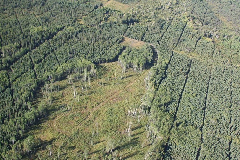
Predicting Ecosystem Occurrence For Mine Reclamation
Developing methods to reliably predict soil water and ecosystem occurrence in severely disturbed landscapes.
Support to Develop an Access Management Plan in Fort McKay’s Traditional Territory
IEG represents and supports Fort McKay in negotiations with the Government of Alberta to develop an access management plan for the west side of Fort McKay’s Traditional Territory.
Evaluating Surface Mining Reclamation Success
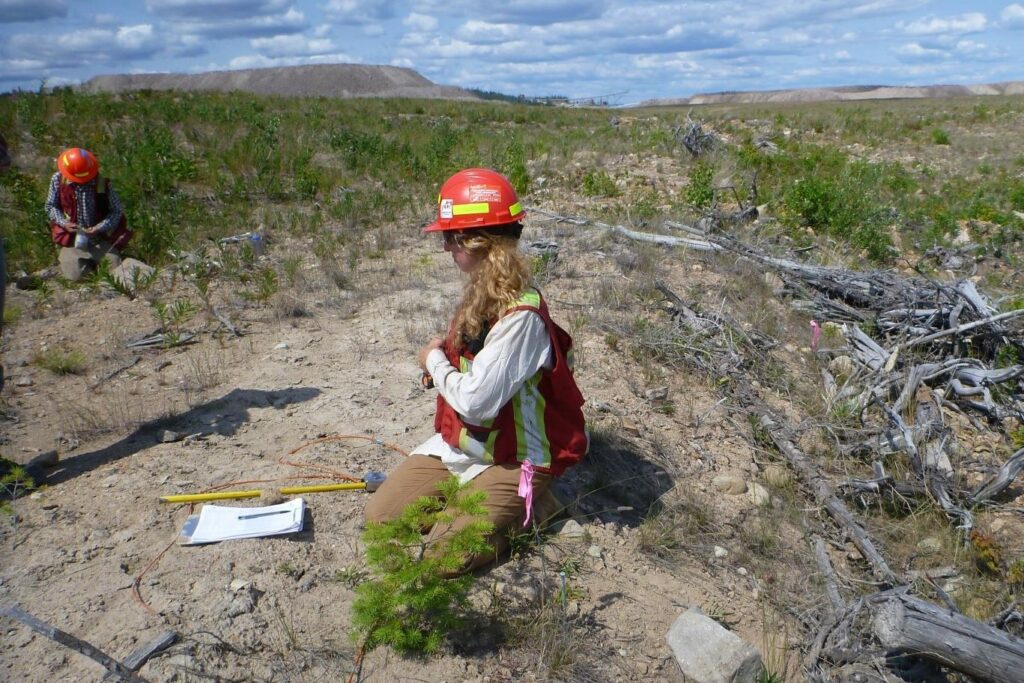
Developing an ecosystem-based criteria-and-indicators framework to measure reclamation performance
Fort Chipewyan Métis (Local #125) Land Use and Indigenous Knowledge Study
For the Suncor Base Mine Extension (BMX) Project (2018-2020)
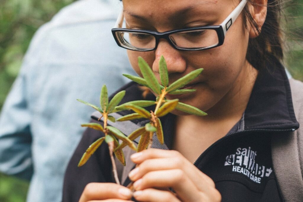
Traditional Plant Study in Fort McKay
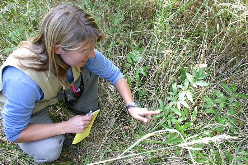
IEG worked with Fort McKay community members to develop and verify a comprehensive list of important culturally used plants.
Fort Chipewyan Metis (Local #125) Land Use and Indigenous Knowledge Study and Cultural Impact Assessment
For the Suncor Base Mine Extension (BMX) Project (2018-2020) FCM BMX Project *Project summary forthcoming