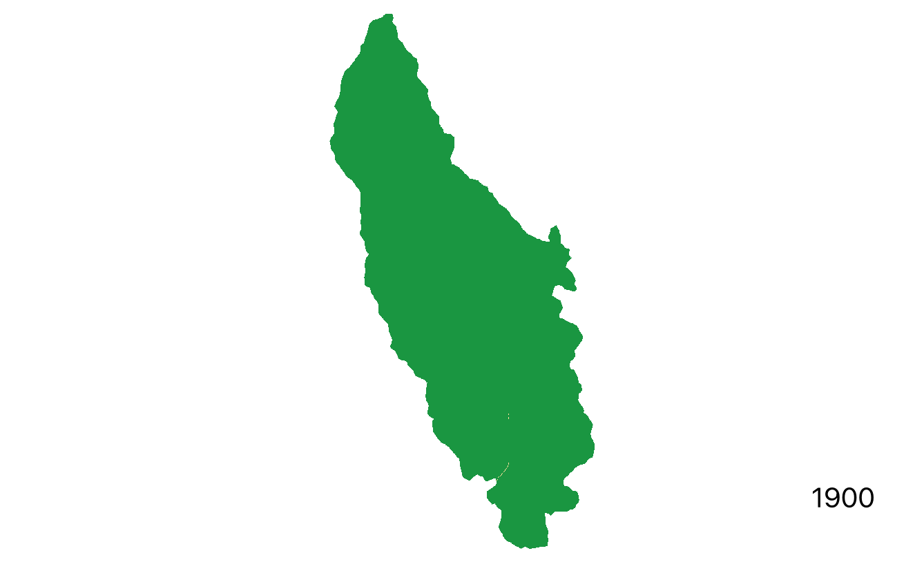
Reconstruction of change in cumulative development footprint over the past century in an Alberta watershed. Prepared using ALCES Flow.
ALCES is a cloud-based modelling platform for cumulative effects assessment and land use planning. IEG’s mission in delivering ALCES is to increase capacity for holistic assessment of impacts to ecosystems and communities. We accomplish this by:
Simulating past and future landscape and population dynamics over large regions.
Mapping the response of ecosystems to land use and climate change.
Working with Indigenous communities to incorporate community knowledge.
Providing user-friendly modeling tools that support ongoing assessment following project completion.